

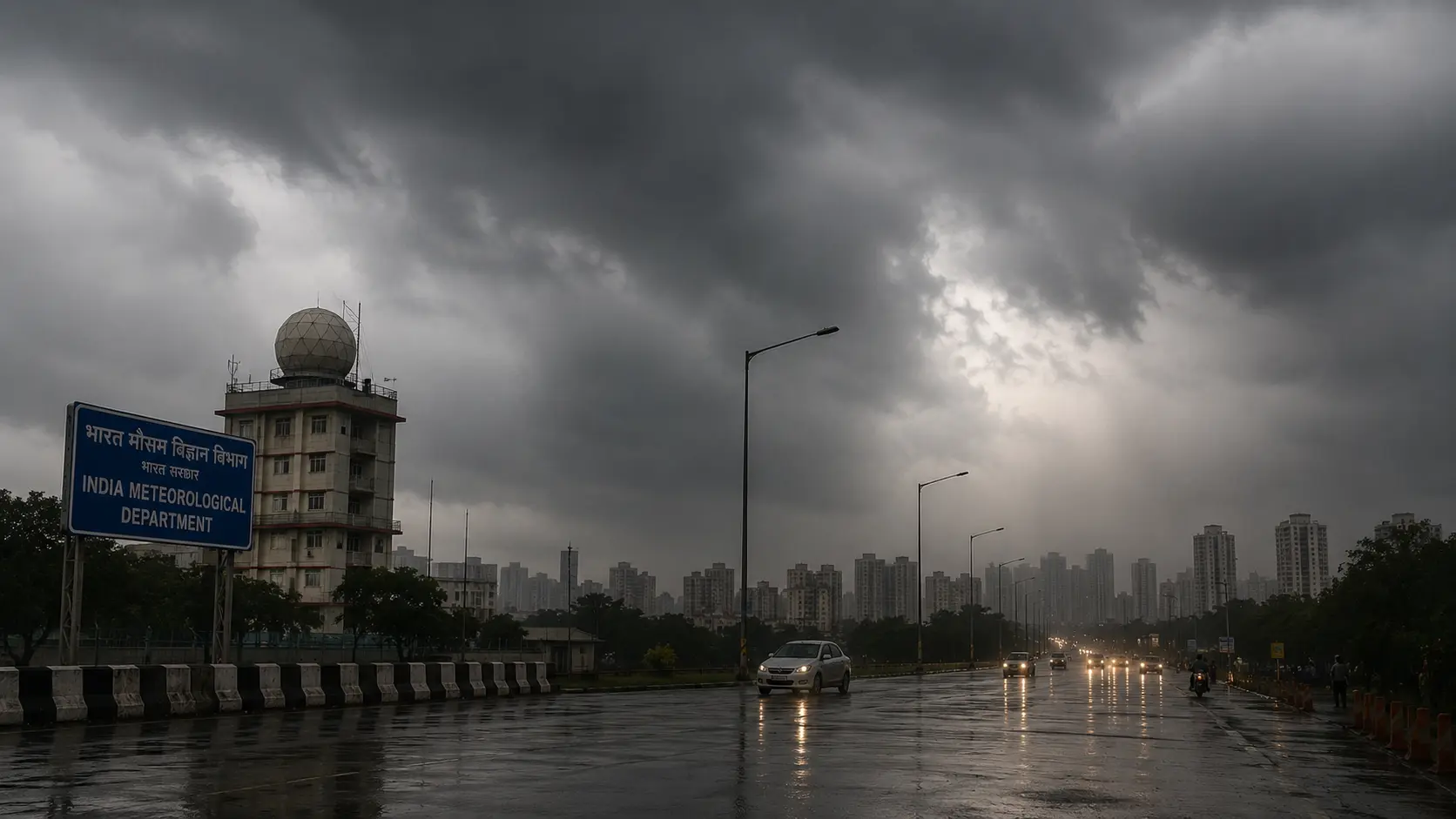
In an age where all is being modelled and simulated through computing infrastructure, we are more and more reliant on predictive technology to tell us what the natural world is up to — and in some ways that's good for us, and in some ways it isn't. When we gaze at the sky, we do not rely on the moisture in the air or the coming of migratory birds, but rather on satellite images, multi-model ensemble predictions, and instant weather information sent directly to our phones. We assumed everybody would make better decisions with this data, but instead we ended up blindly following automated weather apps and broad regional alerts — and somewhere along the way, we lost the granularity, the local awareness, and the original ground discipline that made us resilient in the worst of weather.
This article is going to walk you through what we can and can't do with advanced meteorological forecasts, and what we can and can't do with old-school regional adaptation and original risk-management frameworks. The challenge of matching macro data with local reality isn't just an atmospheric dilemma — it's a growing problem for businesses, agriculture supply chains, infrastructure projects, and even household safety.
Multi-Model Ensembles and the Forecasting Precision They Provide
Weather watching is now a high-tech, data-driven enterprise. The India Meteorological Department (IMD) issues its Long-Range Forecast (LRF) operationally based on the complex Multi-Model Ensemble (MME) forecasting framework. This sophisticated approach does not depend on a single, point-source computation. Instead, it collects and synthesizes intricate simulations from different coupled global climate models (CGCMs) provided by leading international atmospheric research organizations, rooted mainly in the national Monsoon Mission Climate Forecasting System (MMCFS). Through this team-based mathematical strategy, the system applies multiple parameters — such as Sea Surface Temperatures (SST), atmospheric pressure columns, and wind velocity gradients — to predict seasonal trends weeks in advance.
Going into the critical June–July–August–September (JJAS) period of the 2026 Southwest Monsoon, these dynamic systems have pointed to unprecedented macro data signals. Early outlooks prepared in April 2026, and later updated in detailed press releases in late May and June 2026, projected that cumulative national seasonal rainfall would come in at a baseline of 92% of the Long Period Average (LPA), which was subsequently revised down to 90% of the LPA, carrying a standard model margin of error of ±4%.
| Forecast Metric Parameter (2026 Season) | Statistical Probability Value / Percentage | Long-Period Baseline Reference |
|---|---|---|
| Aggregate National Seasonal Rainfall Output | 90% of the Long Period Average (LPA) | Historical 1971–2020 Median (87 cm) |
| Combined Below-Normal / Deficient Probability | 84% Total System Confidence Range | Multi-Model Ensemble Consolidated Output |
| Standalone Season Deficient Probability | 60% Statistical Probability | MMCFS Coupled Global Model Computations |
| Standalone Below-Normal Volume Probability | 24% Forecast System Probability | Tercile Category Distribution Models |
Yet, despite this clear macro-level signal indicating a drier-than-usual cycle overall, the practical ground reality throughout July 2026 presents a starkly different picture. This paradox is precisely where the limitations of relying purely on high-level predictive aggregates become apparent. While the grand calculations edge toward country-wide deficits, real-time weekly snapshots reveal a different story altogether — one of relentless, localized deluges.
The Paradox of Deficient Season Forecasts vs. Localized Deluges
The fundamental risk in the way contemporary data narratives are formed lies in misunderstanding macro-averages. Someone following the seasonal projection alone might conclude that a dry season means a lower chance of flood interference. But July 2026 atmospheric dynamics have demonstrated that systemic deficits can be readily offset by localized extreme events. Although the cumulative total for the entire four-month period may appear mathematically suppressed, transient cyclonic systems can generate a flux of precipitation-induced rain in just a few days that overwhelms the drainage system.
This is precisely the case demonstrated by the latest weather bulletins released by the IMD in July 2026. A persistent low pressure over north-central Uttar Pradesh, associated with a strong cyclonic circulation extending up to 5.8 km into the upper troposphere, brought widespread rain accompanied by heavy falls over more than 20 states simultaneously. The broad seasonal forecast was for dry conditions, yet in real time, Yellow, Orange, and Red alerts were flying across the main areas of the country's economy and geography.
- Northwestern and Himalayan Corridors: Heavy downpours have led to rain-triggered landslides and mudflows resulting in road blockades on major highways in the Indian states of Uttarakhand and Himachal Pradesh. In addition, urban areas such as Delhi-NCR have repeatedly witnessed active Yellow Alerts due to cloudburst-like incidents.
- Northeast and Eastern River Basins: The sub-Himalayan West Bengal-Sikkim-Bihar-Assam belt has experienced heavy flood threats. The IMD has issued a series of Orange and Red alerts warning of heavy to very heavy showers of 7 to 20 cm within 24 hours, induced by continuous moisture convergence from the Bay of Bengal.
- Central and Peninsular Belt: Parts of Madhya Pradesh, Chhattisgarh, and areas along the coastal Western Ghats are witnessing intermittent but very intense convective systems, resulting in localized flash floods in some places and broader agricultural drought in others.
Delegating complete authority to automated alerts decontextualizes attention into an endless frenzy of reacting to momentary digital notifications at the expense of long-term structural resilience. This has created a difficult pattern of consistently responding to short-term emergencies instead of building long-term, durable infrastructure. For example, a logistics company or real estate developer that bases its extended plans exclusively on a generic seasonal forecast is bound to get blindsided by these micro-climate swings, resulting in unexpected project delays and financial losses.
Structural Preparedness: Bridging the Gap Between Alerts and Action
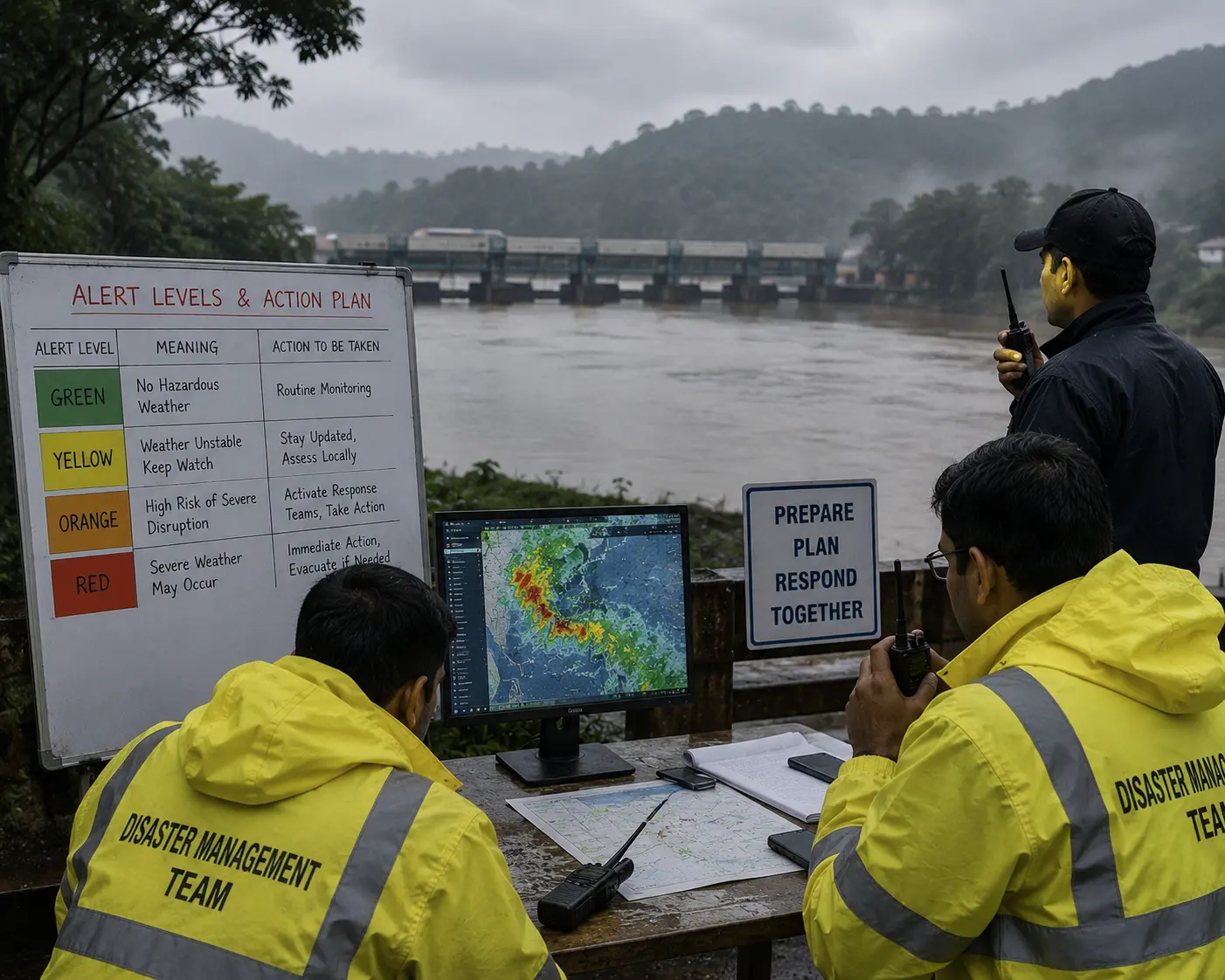
To overcome these weather challenges successfully, we need a unique combination of modern AI and meteorological modeling power with original, disciplined execution on the ground. Much like the traditional Japanese Kakeibo practice instills personal finance consciousness by disconnecting from automated tracking and relying on manual reflection, contemporary climate defense demands local translation and manual institutional follow-through for each weather alert sent.
"Conscious interpretation transforms a digital color-coded alert into an active, life-saving field defense."
Translating meteorological information into actual safety requires a clear understanding of what each color-coded warning demands. The IMD's alert system is based on four levels, and every level of government and local community should respond accordingly:
| Alert Level / Color | Technical Meaning & System Condition | Required Operational Action Strategy |
|---|---|---|
| Green Alert | No Hazardous Weather Conditions Imminent | Routine Monitoring and Standard System Readiness |
| Yellow Alert | Weather Conditions Unstable; Keep Watch | Regular Updates; Localized System Assessments |
| Orange Alert | High Risk of Severe Disruption; Be Prepared | Activate Response Teams; Divert Vulnerable Traffic |
| Red Alert | Severe Weather May Occur; Be Prepared | Immediate Evacuations; Emergency Protocols Active |
Real resilience is moving beyond reactive compliance. Local administrative bureaus, agricultural cooperatives, and industrial enterprises have to establish institutionalized safety procedures which turn a digital "Orange Alert" into immediate practical action — cleaning drainage ditches, bolting down loose infrastructure, halting dangerous supply lines, and clearing the way for local communities, all in advance. At the end of the day, while the determining factor is modern forecast technology, it's human attentiveness, local discipline, and real-time coordination that save lives and the economy when the rain comes.
Read Further
- IMD Cuts 2026 Monsoon Forecast to 90% of LPA, Warns 60% Chance of Deficient Rainfall and Heatwaves — Down To Earth, May 29, 2026
- IMD Red Alert in Uttarakhand as Monsoon Intensifies Across India; Heavy Rainfall Warning for UP, Assam, Meghalaya and More States — Down To Earth, July 2026
Disclaimer: All the data and analytical points provided above were gathered from reputable meteorological data updates, official IMD releases, and climate risk research. This report should be treated as an educational and analytical brief on climate-economic interactions and not as direct financial or policy advice.